01
Frame it
Search any place on Earth and frame the streets that matter — your block, your harbour, the city you grew up in.
Any city on Earth · print-ready, in colour
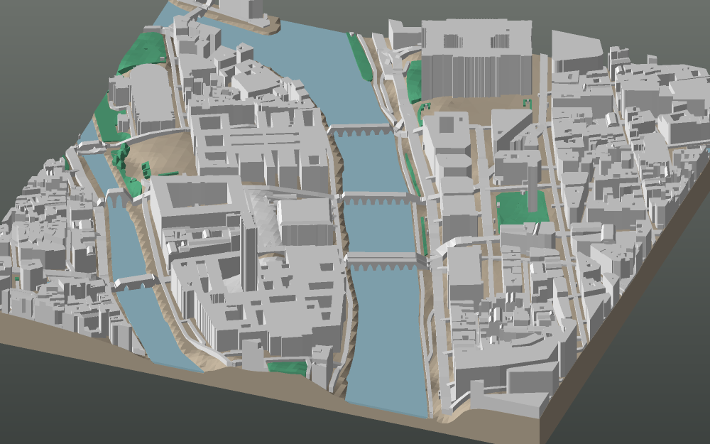
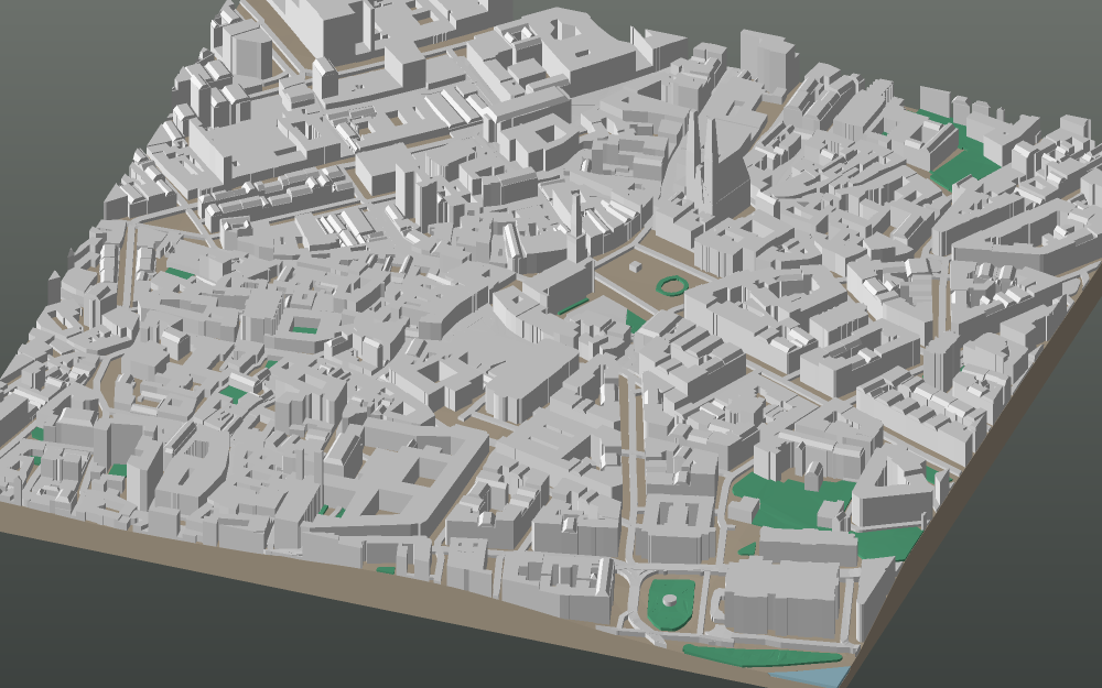
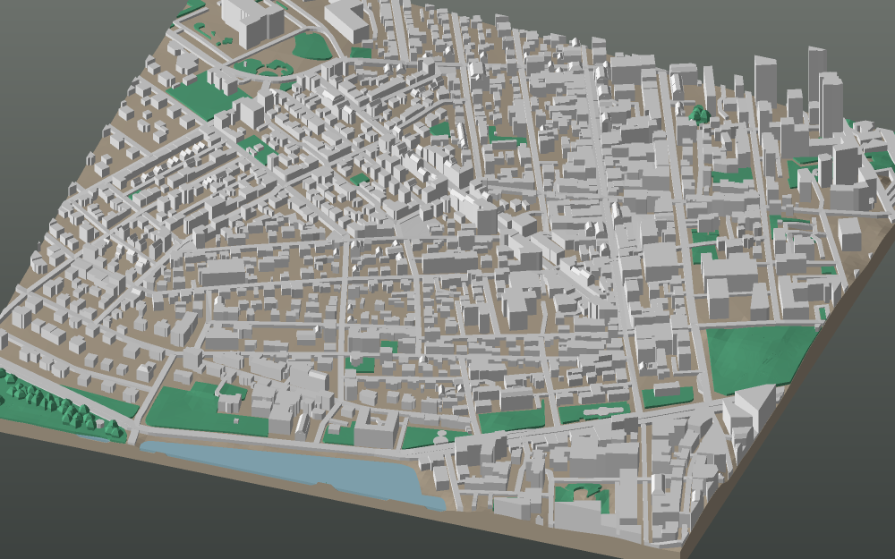
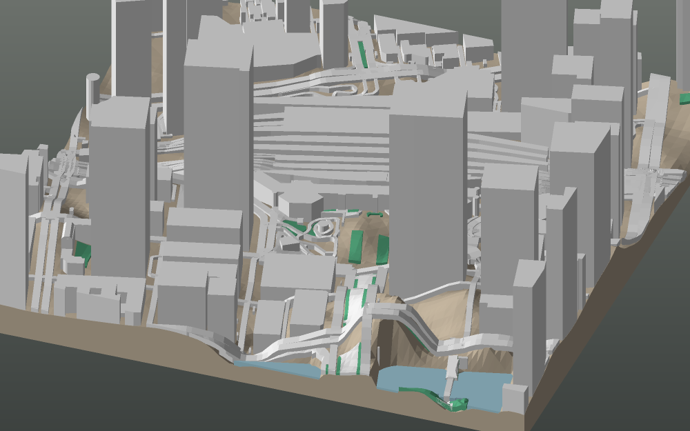
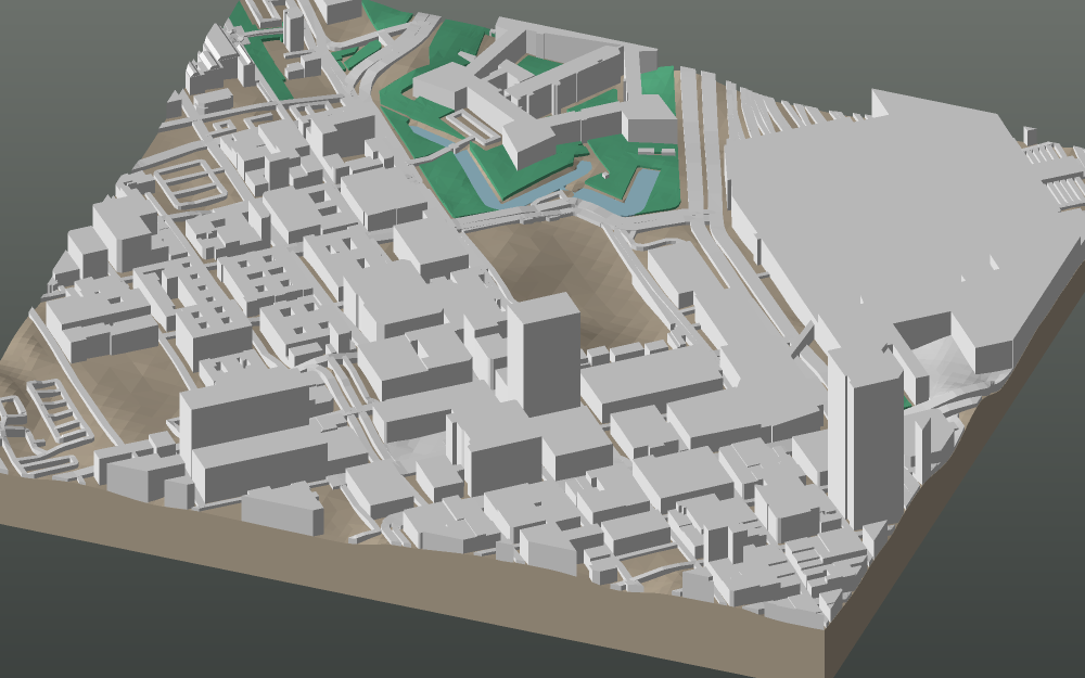
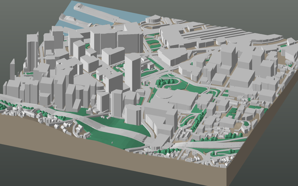
GeoFilament turns any place on the map into a print-ready 3D model — buildings, streets, real hills, rippling water and bumpy woodland, built live from open map data. You frame it. You print it.
From €3 per model · 3MF + STL + OBJ · no subscription

The process
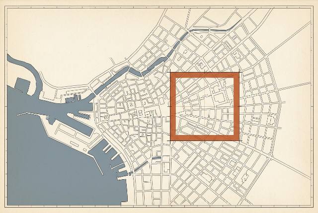
Search any place on Earth and frame the streets that matter — your block, your harbour, the city you grew up in.
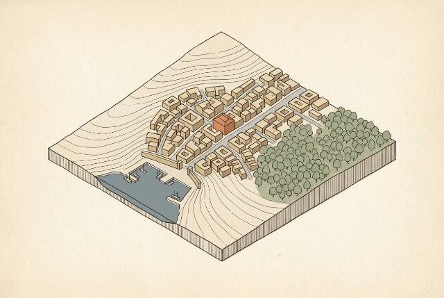
We build the model live in your browser from real map and elevation data: buildings, streets, hills, water and woodland.
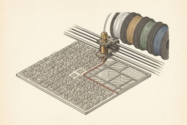
Pay once and download a multi-colour 3MF for your AMS or CFS — or one STL per colour if you print a filament at a time.
Why GeoFilament
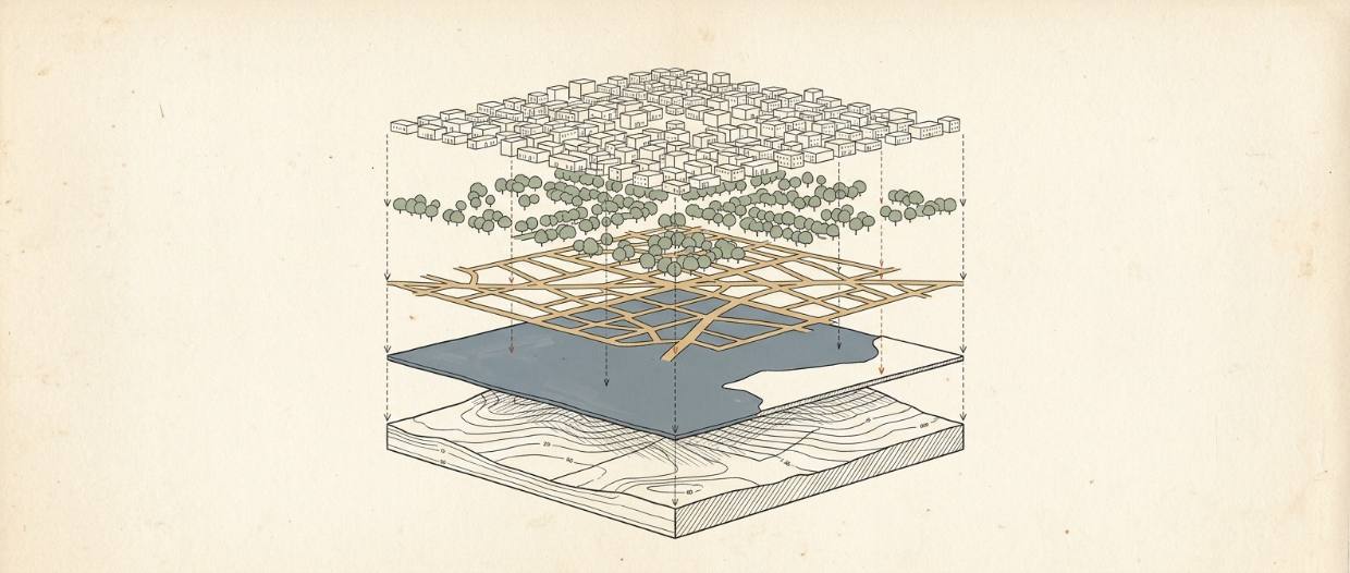
Elevation comes from the same DEM the mapping world uses, so a hillside city actually climbs. Coastlines get a proper sea surface instead of a flat void.
Forests are rendered as thousands of individual rounded canopies — a bumpy, tactile texture that reads as trees the moment you touch it.
Split any area into up to 4 × 4 plates, each one a square that fits your bed. Print them one at a time and butt them together — a 640 mm city, at the same scale throughout.
Terrain, buildings, roads, water and woodland arrive as separate parts with filament slots already assigned — a 3MF for your AMS or CFS, or one STL per colour for a single-filament printer. No supports, no repairs, honest millimeters.
Pricing
Priced by the finished model — the same city costs the same however many plates it prints on.
Start your modelEarly access: checkout runs in demo mode — no card is charged.
Questions
Yes — GeoFilament sells the digital model, not a physical print. Any FDM or resin printer works, and every print bureau on the planet accepts STL files if you would rather order a print.
Three export formats for the same model: a multi-colour 3MF with each layer assigned to a filament slot, a single-mesh STL, and an OBJ with a material library. Units are millimeters, Z-up, scaled to the plate size you chose. Everything ships with a print and assembly guide.
Yes. Choose a 2 × 2, 3 × 3 or 4 × 4 grid and the area is split into that many plates — up to 640 mm assembled at a 160 mm plate size. Every tile is a flat-edged square cut from the same model, so neighbours butt straight up against each other and the street grid runs on across the join. The print guide names the tiles by row and column so you know which goes where.
Elevation comes from the AWS Terrain Tiles open dataset. Buildings are cut into the slope so they sit properly on a hillside, roads follow the ground, and printed relief is capped at half the plate width so an Alpine valley stays printable. You can exaggerate or flatten it with the terrain slider, or switch it off for a flat plate.
Every model prints at 1:5,000, so the plate decides the area rather than the other way round: a 160 mm plate covers 800 m across, a 250 mm plate 1.25 km, and a 4×4 grid of 250 mm plates 5 km — a metre-square model of 25 km². Fixing the scale is what keeps a 10 m building 2 mm wide on every model, big enough to actually print, and it means two models of the same city always fit together.
The standard purchase covers personal use — print as many copies as you like for yourself and as gifts. A commercial license is on the roadmap; get in touch if you need one sooner.
OpenStreetMap, © OpenStreetMap contributors (ODbL). Coverage is excellent in most cities; where mappers have recorded building heights we use them, otherwise we estimate from storey counts.
GeoFilament is in early access. Checkout currently runs in test mode — no card is charged and downloads unlock instantly. Real payments are the next milestone.