GEOFILAMENT
GalleryProcessPricingFAQ
Open the studio

Gallery / Cambridge

Cambridge, ready to print

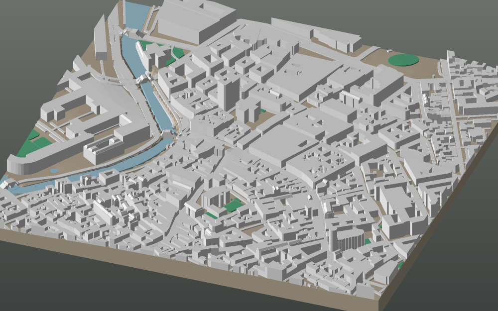
Market Ward — 800 m of ground on a 160 mm plate, at 1:5,000. Buildings, streets, water, woodland and the real terrain under all of it, from OpenStreetMap and open elevation data.
A 3D-printable model plate of Cambridge — Market Ward — with its buildings, streets, water and terrain.
cambridge · 52°12′N 0°08′E · 800 m across · 160 mm plate
Buildings
620
Tree canopies
0
Relief across the frame
9 m
Triangles
53,054
Open this frame in the studio →See the other cities

The link above opens the studio already framed on Market Ward. Nothing is fixed: move the map, change the plate size, turn the frame to the view you know, switch the water or the woodland off. Map data © OpenStreetMap contributors, licensed under the ODbL.
More cities

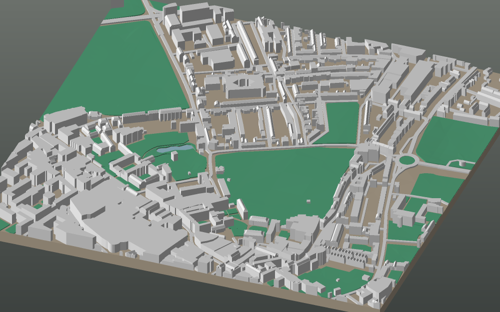
  • A 3D-printable model plate of Cardiff — Cathays Park.

    Cardiff

    Cathays Park

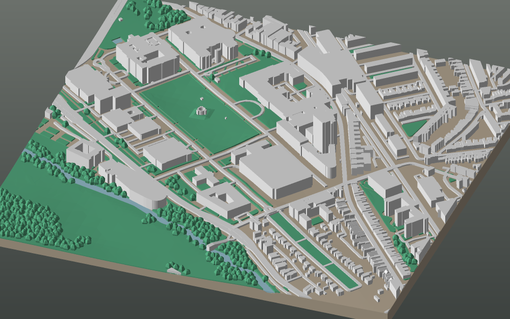
  • A 3D-printable model plate of Cologne — Altstadt.

    Cologne

    Altstadt

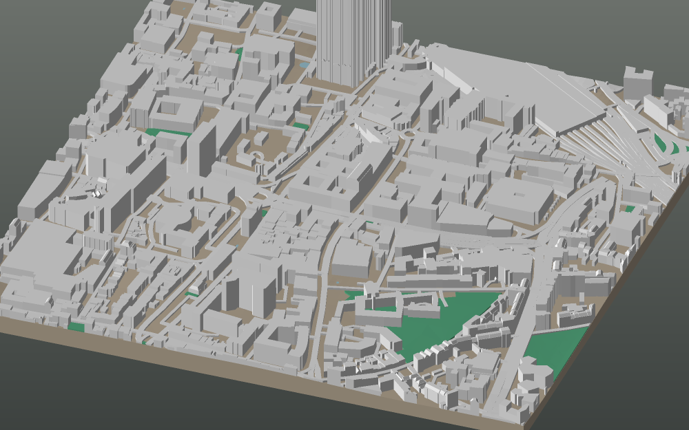
  • A 3D-printable model plate of Copenhagen — Gammelholm.

    Copenhagen

    Gammelholm

GEOFILAMENT

Print the places you love.

StudioGalleryProcessPricingFAQPrivacyTerms

© 2026 GeoFilament · Map data © OpenStreetMap contributors (ODbL) · Demo — payments run in test mode